Charted Territory

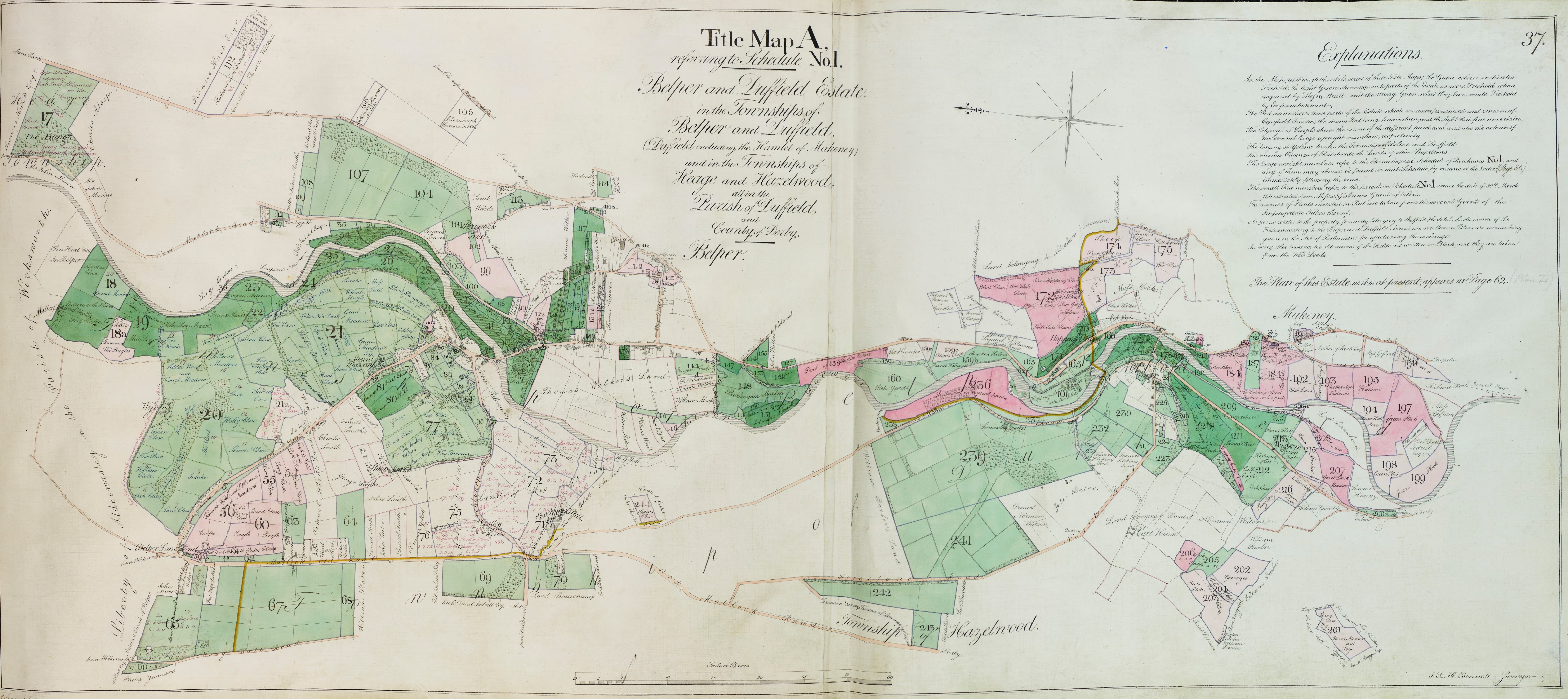
Charted Territory is a project delivered by the Great Place Scheme to digitise several historical maps of the Derwent Valley and provide a portal for members of the public to be able to access the maps for further research. Working with Derbyshire Records Office, a team of volunteers alongside the Derwent Valley Mills World Heritage Site coordination team have brought this project to its conclusion.
The maps can be viewed in a variety of ways below:
Charted Territory Online Exhibition
A beautiful online exhibition has been created so that you can view the maps on a reasonably large scale. View the exhibition below:
Google Arts And Culture – Charted Territory
Derbyshire Heritage Mapping Portal
View and search the maps online:
Access the Derbyshire Record Office Portal
Charted Territory Exhibition Hire
Community groups are able to hire exhibition stands and a screen to help to share the maps with members of the public. The exhibition can be hired below – look for Charted Territory Exhibition:


